Plan of Callanish I
(Drawing: Gerald Ponting from RCAHMS original)
As with many megalithic settings across the world, it is thought there are astronomical alignments at Callanish I. The most famous of these alignments is that of the Major Lunar Standstill which occurs roughly every 18.6 years. Much of the work in this area was done by Margaret Curtis, Gerald Ponting and Ron Curtis from earlier research by Alexander Thom and Gerald Hawkins.
At Callanish I, the moon appears to roll along the top of the hill range known as "the Sleeping Beauty" before disappearing below the horizon. However, there is a notch in the horizon at which the moon "re-gleams".
One of the purposes of the Callanish3D project is to use Stellarium to simulate and validate some of these archaeo-astronomical theories.
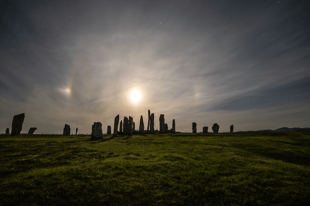
"Callanish Moon Halo and Moondogs"
(Photo: Callanish Digital Designs)
Ponting (and Curtis) use -1549 (1550BCE) as the reference date for determining the possible celestial events [Ponting, 1981, page 72], [Curtis, 1994].
However, such a date does not really show the reappearing of the Moon behind Mullach an Langa (into Glen Langadale). The Moon's top rim stays still a little above that skyline of Mullach an Langa. Dates of -3001 or -2275 will show this Lunar reappearing in a more convincing way.
Remember that the reappearing would not be visible form the circle due to the height of the nearby outcrop Cnoc an Tursa just south of Callanish I.
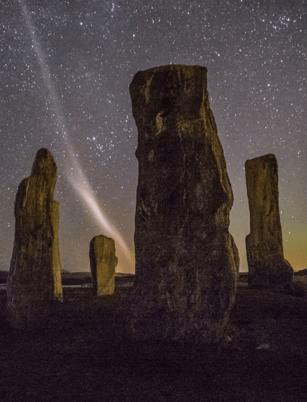
"Callanish and 'Steve'"
(Photo: Callanish Digital Designs)
If you want to experiment with lunar standstills in Stellarium at Callanish, some of the major dates are as follows.
It might also be useful to enable the "ArchaeoLines" plugin in Stellarium to help visualise the path of the Moon.
Aligning the model against observations
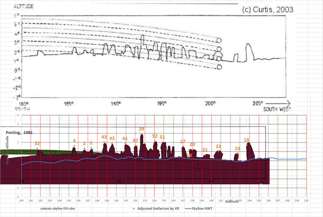
Horizon drawings from Ponting (1981) and Curtis (1994/2003)
Somerville's numbering scheme of 1912 is used in this description [Ponting, 1981, page 80] as shown in the plan above.
Curtis' [1994, page 30] and Ponting's [1981, page 100] skylines from midway stones 8 & 19 have been made into a Stellarium landscape ('callanish-curtis').
This skyline model was then to check the alignment of the Callanish3D model in Stellarium against previous observations.
A fine tune was done after aligning the model against the Tait survey. The tops of the far away stones (e.g, stone 29) and nearby stones (stone 17) were aligned with these stones' contours in Curtis' and Ponting's skylines.